Lee County Airport also looks to be 25/100’ and not it.
Clairborn County Airport also 25/100’ and not it. I’m just zooming around the Appalachians on satellite.
1 Like

That should get you there although it may not be the most efficient way to do it. All of the airports you’ve mentioned have 75’ runways.
Oh yeah, I forgot. 8 lines.
I can spot 250 degrees from satellite more or less. Sometimes I get a 26 or a 24 or maybe a 23 or 27, but I insta-reject a lot of them before I can read the number.
Try thinking through the logic of my first hint earlier, and consider that I make at least a small effort to limit the personal information I put out on this site, and in any case I wouldn’t expect anyone to know anything about where my camera has been, except…
(in other words, I wouldn’t say your first guess was “hot”, but warm at least and you’re getting colder)
it’s fun to say that name Beau guh taj
like taj mahal
vinko self explanatory
Final hint
Was gonna say Telluride Airport until it was in the Appalachians
Ingalls Field Airport
1 Like
zikzak wins! Highest elevation airport in the eastern US. Also kind of cool cause both ends of the runway fall straight off a cliff, which is not ideal for safety but kind of cool if you don’t die.
1 Like
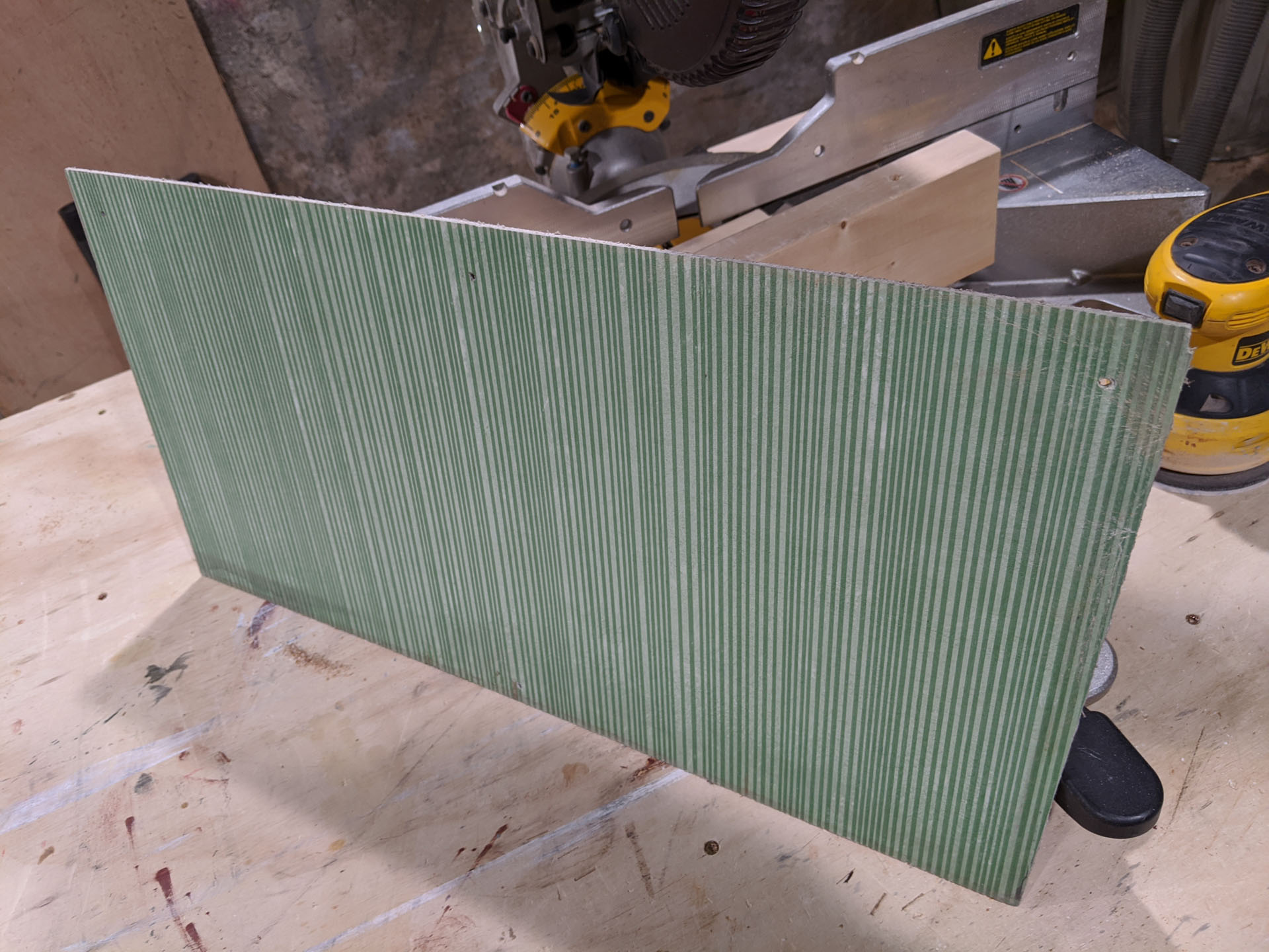
Starting to have a hard time coming up with pics. People east of the Mississippi will have an advantage identifying this object. It is rare to find them in new condition like this.
Tin roofing?
Not rusted!
Cindy was always my fav B-52, but no.
Plywood?
Nope
fiberglass somethin’